

Events
One Humanity. One Map. One World. for People, Places and Planet at GWF2025 (2025)
 The 2025 conference and plenary meeting of the UN Geospatial Network is held from 22-25 April in Madrid, Spain, hosted at the Geospatial World Forum 2025 under the theme ‘Spatial Computing & Digital Twin Enterprise: Accelerating the Future Geospatial Ecosystem’.
The concept note outlines objective and agenda for the conference of the UN Geospatial Network on the theme “One Humanity. One Map. One World. for People, Places and Planet”. The event features the mainstage video messages from Mr Bernardo Mariano Joaquim Junior, Chief Information Technology Officer at UN Secretariat (video) and Ms. Stefania Giannini, Assistant Director General for Education at UNESCO (video), and the opening panel discussion by Mr. Alexandre Caldas, Director Technology & Innovation, Science Division at UNEP and Mr. Lorant Czaran Head UN SPIDER a.i. Space Applications Section at UNOOSA.
The plenary meeting of the UN Geospatial Network is held in hybrid mode to discuss agenda such as sustainable leadership, current priorities, latest developments of the One UN Geospatial Situation Room, advancement of the Blueprint to 2030, activities of the Geo-communities, and an UN Maps programme updates. A summit and side program were organized on site to showcase and promote how geospatial information helps support the Sustainable Development Goals in respective organizations of the UN system in relation to climate change, the environment, good health, food systems, peace, education, and humanitarian aid.
One Map. One Humanity. (2024)
 On 30-31 July 2024, the UN Geospatial Network held its Plenary Session, at the Permanent Mission of Türkiye in the vicinity of the United Nations Headquarters. The meeting held under the theme "One Map. One Humanity. Transforming the Lives of People, Places and Planet" was attended by agencies, funds and programmes of the United Nations System including UNEP, UNESCO, WHO, UN Habitat, UNODC, World Bank, UNFPA, UNOOSA, UNDP, FAO, the Secretariat (Statistics Division of DESA and Geospatial Information Section in OICT), and international organizations and partners.
The concept note and agenda framed the discussions particularly on the current progress of the UN Geospatial Network on its One UN Geospatial Situation Room concept, presented to the Committee of Experts for its upcoming Fourteenth session (in August 2024) priority activities for the Network for the coming years, and sustainability of activities, funding and leadership.
Geospatial professional in action for the UN and the SDG (2023)
 15 November 2023 is Geospatial Information Systems day or Geospatial day, an opportunity to highlights the significant role of geospatial data and sciences for a sustainable future for more social justice, economic value, and protection to our environment. Held on yearly basis and close to the world science day for peace and development, Geospatial day underlines the importance and relevance of geospatial information and science in our daily lives, for people, places and planet.
The theme for 2023 is to “celebrate the Geospatial professional” and show how the work of geospatial professionals touches so many lives, even if many are unaware of its power and pervasiveness. To celebrate Geospatial day, the United Nations Geospatial Network has organized a kaleidoscopic presentation showing general explanations about the duties of the geospatial professions, based on its prior generic job description for the geospatial professions, and a showcase of experts around the world in the United Nations using everyday geospatial information and technologies to advance the mandates of the Organization. Finally, the presentation showcases what geospatial data, applications, tools and analysis can provide in the context of the Sustainable Development Goals, our common agenda for the future.
The presentation celebrating “The Geospatial professional in action for the United Nations and the Sustainable Development Goals” will be presented to children and young adults in schools and universities by members of the UN Geospatial Network !
More information soon with the slide deck and where our UN Geospatial Network was around the world...
Geospatial Information: Accelerating Implementation of the SDGs (2023)
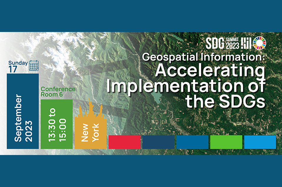
On 17 September 2023, the Side Event on 'Geospatial Information: Accelerating Implementation of the SDGs' was held at the United Nations Headquarters as part of the SDG Acceleration Day, on the SDG Action Weekend 16-17 September 2023. The side event demonstrated the immense value and utility of geospatial information, as a critical component of a national infrastructure and knowledge economy, providing a blueprint of what happens where, and providing the means to integrate a wide variety of government services that contribute to economic growth, national security, sustainable social development, environmental sustainability, peace, national prosperity and the development agendas and priorities of the United Nations.
The Chair of the UN Geospatial Network contributed to the event by presenting the vision, ongoing activities and support of the United Nations system to the work of UN-GGIM and Member States on geospatial information management and how geospatial information contributes to better achieve local, national, and global goals, including the 2030 Agenda for Sustainable Development, COVID-19 recovery, and our climate agenda.
One UN Geospatial Situation Room (2023)
 The United Nations Geospatial Network met from 13 to 15 June 2023, for a conference on the theme “Building the One UN Geospatial Situation Room for People, Places and Planet”. The meeting was hosted by the United Nations Environment Programme and the United Nations Office in Nairobi (UNON) in Nairobi, Kenya, in Africa, which also meant to emphasizes the importance and need for geospatial information for the global south, developing countries and least developed communities of the world. The meeting with a welcome speech by Jian Liu, Director of Early Warning and Assessment Division in representation of the Executive Director of UNEP, followed by the Opening remark of the Chief Information and Technology Officer, Bernardo Mariano Junior of the Office of Information and Communications Technology of the United Nations. The main objective of the meeting was for the Network to pursue one of its main objectives which is to ensure the availability and accessibility of coordinated geospatial information and related systems across the United Nations system. During the conference, the Network launched the “One UN Geospatial Situation Room” as a single-entry interface for coordinated and federated geospatial data, services, systems and activities of the UN System, across the United Nations pillars: peace and security, sustainable development, humanitarian action, international rule of law and human rights. The meeting was hybrid with in-person and online participants from the 40 entities of the United Nations Geospatial Network. The Masai-Nairobi Declaration on One UN Geospatial for People, Places and Planet was issued.
United Nations Maps (2023)
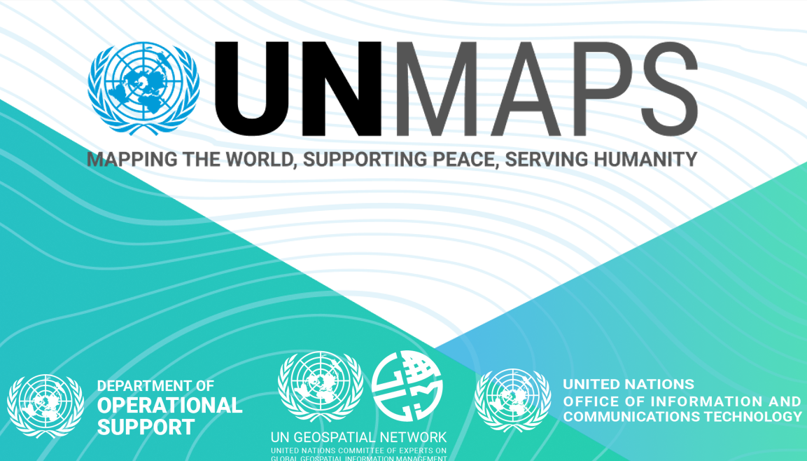 The United Nations Maps conference was held from 6 to 10 March 2023 and hosted by the UN ICT Facility - Global Service Centre in Valencia (Spain).
The conference was opened by a video message from Mr. Bernardo Mariano Jr, Assistant Secretary-General and Chief Information Technology Officer (CITO) of the United Nations.
The CITO of the United Nations praised the work and leadership of the UN Geospatial Network with more than 38 entities of the UN, to implement the One UN Geospatial Situation Room to "Deliver as One" across the UN system. Participants shared their experience and discuss their current ongoing efforts within the UN Secretariat, UN System, and beyond, to develop capacities, data workflows, services, infrastructure, tools, and solutions toward addressing their challenges on delivering their mandates for peace and security, human rights, international law, development, and humanitarian aid. Participants further discussed modalities to strengthen synergies on ongoing and future activities and investment on geospatial information management in United Nations to ensure we “Deliver as One”, bringing together the UN Maps enabling data and services, and the multiple threads of geospatial data management from respective Agencies, Funds and Programmes into the One UN Geospatial Situation Room.
Participants agreed to and issued the Valencia Declaration, summarizing the proceedings and agreements of the UN Maps conference.
Geospatial Data for Good (2022)
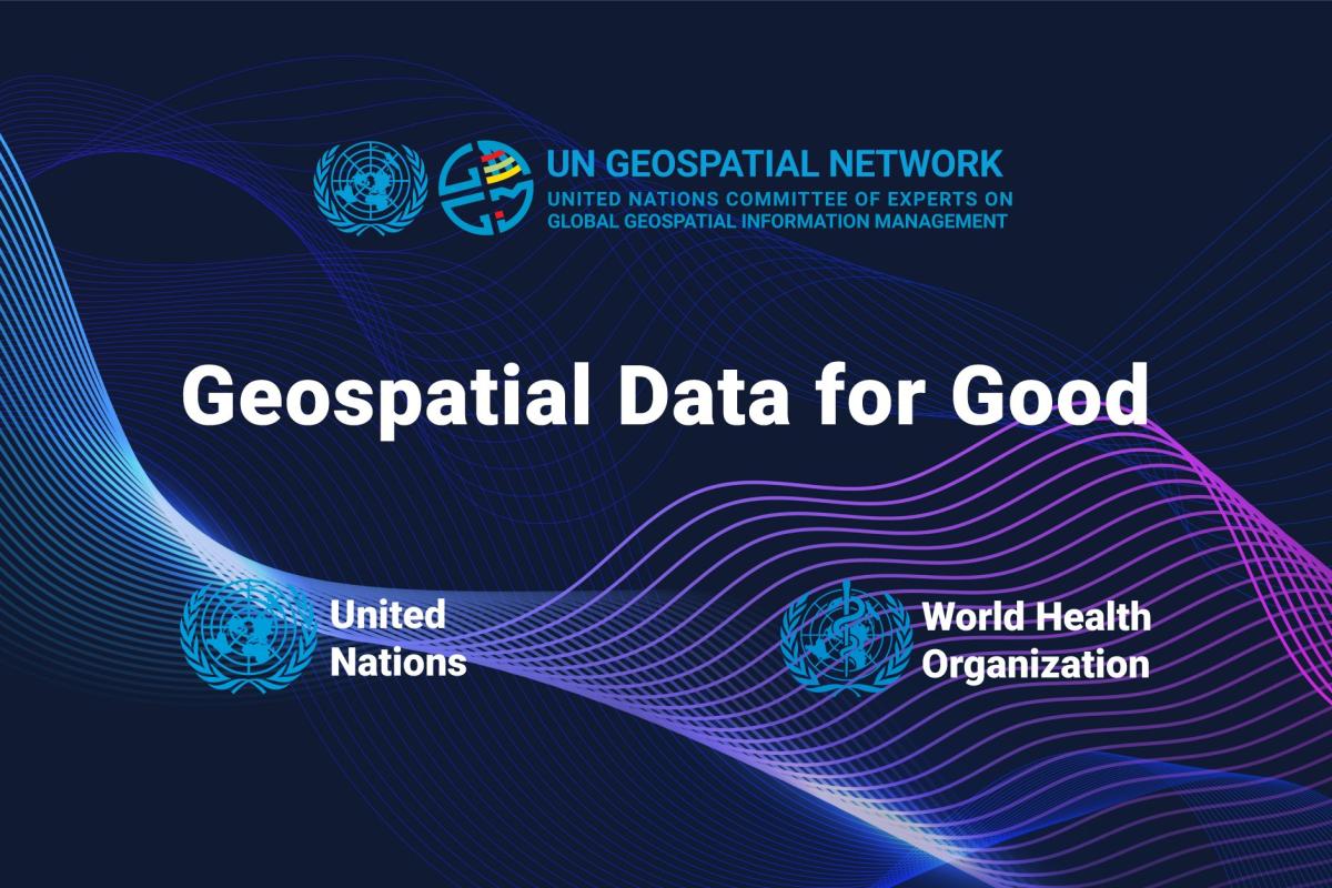 On 12 May 2022, the Geospatial Information Section of the United Nations and GIS Centre for Health of the World Health Organization co-organized an event on “Geospatial Data for Good” in Geneva, at WHO Headquarters, to discuss the challenges related to the availability, quality, and accessibility of geospatial data. A wide range of speakers and partners discussed and presented their perspectives on topics around geospatial data, health, national capacities, the Sustainable Development Goals and worldwide priorities. The event was organized under the auspices of the United Nations Geospatial Network which aims to strengthen the coordination and coherence of geospatial information management within the United Nations system.
The event addressed the nexus of geospatial information and health, a priority of the UN Geospatial Network which was prompted by its work during the novel coronavirus (Covid-19) pandemic. To stage the discussions, the event included key presentations by the EOSG, the UN-GGIM Secretariat, and the Chair of the Network and two geospatial data initiatives WHO, the Global Health Facilities Database and the UN, the SALB programme.
Find the concept note and agenda for the event.
Celebrating GIS day (2021)
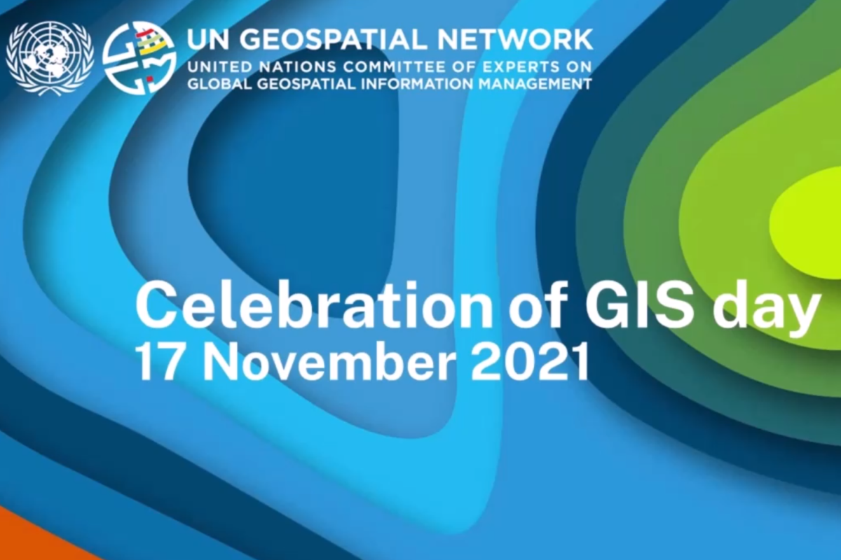
On November 2021, the United Nations Geospatial Network organized a virtual Round Table in celebration of GIS day. This was an opportunity to gather GIS professionals from all parts of the United Nations system to present and share best practices and lessons learnt. The event was introduced by a presentation of the Chair of the UN Geospatial Network, its vision, mission and landmark publications. This was followed by a presentation on the Integrated Geospatial Information Framework.
The event then introduced the latest publications by the Network and moderated sessions on Young Professionals in Geospatial and Geospatial Technology for SDGs. The GIS Centre for Health of WHO introduced the Network's publication on Geospatial for Humanity closely followed by the presentation of the publication on Geospatial In Action.
The recording of the session is available at this link.
Here is the agenda and additional details.
Joint integration workshop and UN-GGIM side event (2021)
 On 19 August 2021, the UN Geospatial Network organized a Side Event for the Eleventh session of the Committee of Experts on Global Geospatial Information Management (UN-GGIM). The Side event included presentations on its overall activities (link), the use of geospatial information in the UN system to address the challenges related to the Sustainable Development Goals (link), a book on the use of cartography and geospatial information for mapping the Sustainable Development Goals globally (web version) (print version), the launch of the global agro-ecological zone platform (link), the use of geospatial information in the UN system to respond to the Covid19 pandemic (link) and disasters response and capacity development in countries (link). The recording of the session is available at this link.
Joint Workshop on the Integration between Geospatial and Statistical Information
 The UN Geospatial Network and the Committee for Coordination of Statistical Activities (CCSA) organised a Joint Workshop on the Integration between Geospatial and Statistical Information in International Organisations and Member States in April-May 2021. The workshop gave members of the organising networks the opportunity to present and share best practises, lessons learnt and transferable skills among international organisations on the following themes: 1) production of statistics and geospatial information through integrated methodologies and enabling technologies, 2) visualisation and dissemination of geospatial information and statistics, and 3) technical assistance and capacity building delivered to Member States to improve integration between national statistics and geospatial information.
The discussions and topics emerging in the four virtual sessions highlighted the relevance of integrating statistics and geospatial information and enabling technologies, as well as a great potential for using synergies and fostering cooperation between the two communities. The key outcomes include pursuing a common vision and joint plan of action, fostering cooperation by establishing a community in practise, implementing interagency projects and producing joint publications, fostering data sharing and interoperability, building trust and capacity, and advocacy. The final report presents the key outcomes, a summary of each session and a detailed agenda of the workshop.