
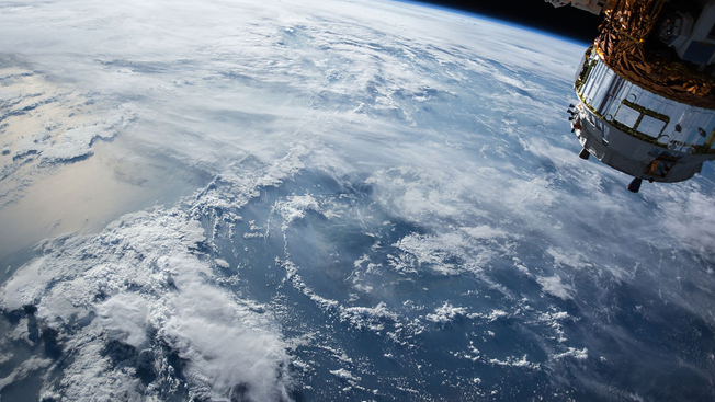
The geospatial way to a better world
Governments and businesses are challenged to combat hunger, poverty, water scarcity, climate change, disasters and other perils, and to provide peace and prosperity for its people, leaving no one behind. Addressing these challenges requires evidence-based policy making, which is achievable with the use of geospatial data, statistical data and applicable technologies. Everything – all our challenges – happens somewhere and can be located, mapped, viewed, measured, analyzed, modelled and monitored. Geospatial tools when applied, allows us to gain insight into data, reveal patterns and relationships which helps us to make better decisions and chart the way to a more sustainable world.
To explore these opportunities further, 1,500 representatives from the global geospatial information management community will gather for the first UN World Geospatial Information Congress (UNWGIC) on 19-21 November 2018 in Deqing, China.
Ministers of governments, leaders from national mapping and geospatial information management organizations, the private sector, academia, international organizations and the UN System will examine critical new and emerging issues, exchange information, design solutions and create partnerships to ensure that geospatial information facilitate social, economic and environmental development.
“This is really the first event of its type,” said Stefan Schweinfest, Director of UN DESA’s Statistics Division, ahead of the event. He described how the Congress, by “bringing together all the multi-stakeholder community around the world for geospatial information, will “enable the private sector, academia and civil society to have a dialogue on how to support” the 2030 Agenda for Sustainable Development.
The UNWGIC, arranged under the overarching theme ‘The Geospatial Way to a Better World,’ will feature a comprehensive and thought-provoking program of four plenaries on emerging topics such as “Sharing the Digital Economy” and “Building Smart Societies”; 35 parallel sessions; and four special presentations, implemented by a cast of prominent, inspiring and influential moderators and speakers.
The event will kick off with an opening ceremony featuring welcome statements by the Vice-Premier of China, UN DESA’s Under-Secretary-General, the Minister for Natural Resources of China and other dignitaries.
A key element of the Congress will be the ministerial dialogue, which will examine the policy relevance, challenges, and role of geospatial technology and innovation to measure and monitor the Sustainable Development Goals and to enable economic development and social prosperity.
In line with efforts to ensure a more inclusive world in which all are counted, the Congress will also focus on enhancing international cooperation among Member States; examine the development and strengthening of geospatial information management systems and capacities; and demonstrate the importance of international coordination and cooperation for building data ecosystems for sustainable development.
A special session, the Young Geospatial Professionals Summit, will be held to incorporate the youth perspective to these global efforts. It will bring to the table, young and rising talents in the geospatial information field, who will share their ideas and solutions in addressing global development challenges.
While the UNWGIC plenary program covers three days, the overall Congress will span over five days and include industry exhibitions, technology showcases, global and regional meetings, and technical side events. The event will culminate with the release of the Moganshan Declaration, expected to inform the global geospatial information management agenda for the coming years.
Follow Us